NOAA GOES-East Northeast loop.
GeoColor keeps the cloud view useful through day and night.

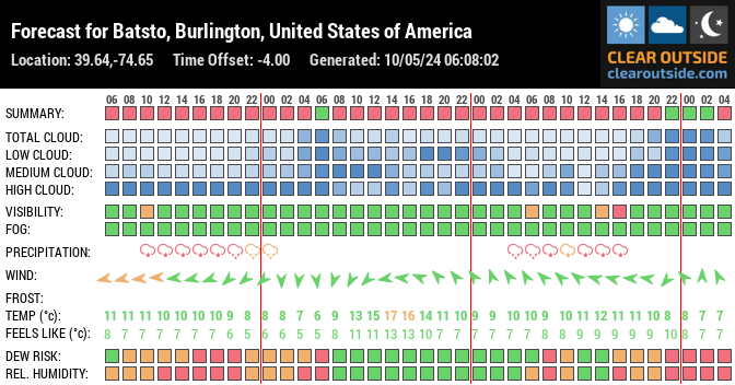
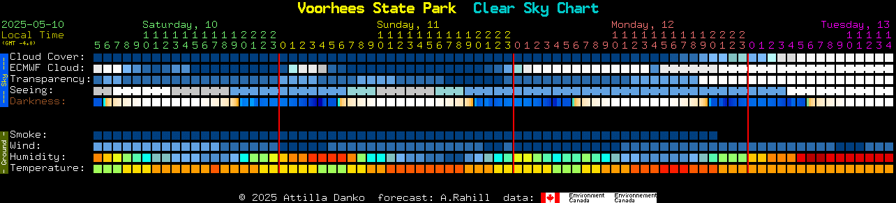
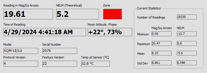
Forecasts, sky charts, satellite loops, radar, sky quality, and all-sky views for the sites I check before setting up.
GeoColor keeps the cloud view useful through day and night.
Live observing conditions for Sewell, NJ.
Gathering forecast, alerts, and overnight conditions.
Calculating sunrise, twilight, and dark-sky timing.
Waiting for location.
Calculating moon altitude and phase.
Loading tonight's window...
Loading hourly forecast...
Home reference
Coordinates: 39.77, -75.14
Current local time:

Voorhees State Park area
Coordinates: 40.59, -74.63
Current local time:


Pine Barrens
Coordinates: 39.64, -74.65
Current local time:

Dark-sky trip site
Coordinates: 41.68, -77.85
Current local time:

Experimental ZIP forecast
Coordinates: Enter a ZIP above.
Local forecast time:
Experimental guidance from the ZIP centroid. Use caution and verify with local conditions before setting up.
NJAA Sky Monitor
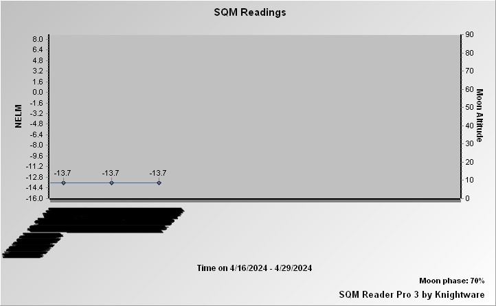
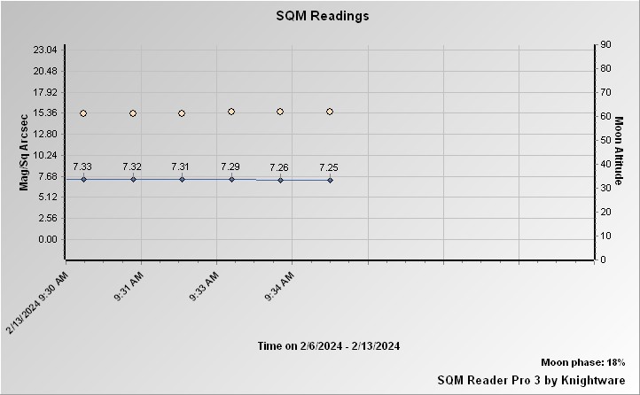
Weather, SQM, and all-sky camera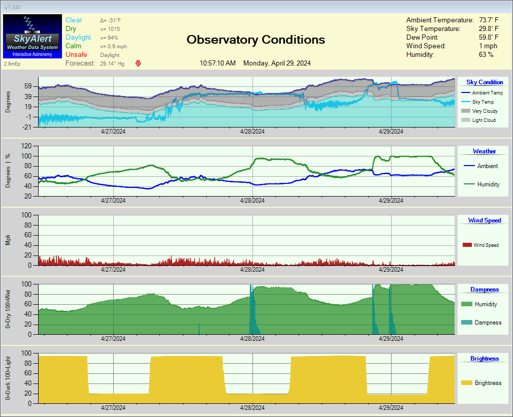

Satellite and radar loops kept close to the observing forecast board.


Deeper checks for forecast agreement, alerts, smoke, and local reference aviation data.
Waiting for the selected site's forecast signals.
Checking active alerts.
Loading alerts...
Transparency checks that affect faint detail.
Loading Sewell-area airport observations.
Loading METAR-style station data...
Loading Sewell-area terminal forecasts.
Loading TAF data...
This page brings together outside observing forecasts and chart images with local dashboard calculations.